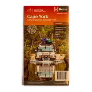
The Kimberley is big country, and to really explore it properly, you’ll need a big map. Imagine how good you’ll feel folding this out on your bonnet at the fork of a road, deciding where to go next. And how popular you’ll be showing off all the drawn in roads you travelled to your friends. Maps, how good are they!
The Kimberley – Hema Maps
$14.95
Product Description
When you’re travelling north of Cooktown and technology isn’t as valuable in the bush as it is in the cities, a big, old paper map is the best planning resource you can have. Open this 1:1,000,000 scale map, and you’ve got a full metre of ‘screen’ to pour over, draw on, check out and plan with. The ultimate chart for exploring Cape York, this Hema map is printed on durable, waterproof paper, and has large insetd for the CREB Track, Rinyirru (Lakefield) National Park, and the most detail you’ll get of the Old Tele Track anywhere. Don’t head north without it.


Reviews
There are no reviews yet.